Şamlar
Şamlar is a village in Başakşehir district of İstanbul Province, Turkey. It is situated in the European portion of Turkey, so called Rumeli at 41°07′N 28°44′E to the east of the Sazlıdere Dam reservoir. It is about 15 kilometres (9.3 mi) northwest of Başakşehir. The population of Şamlar is 3448 [1] as of 2010. The oldest building in the village is a mosque dated 1839. A part of village territory was confiscated during the construction of Sazlıdere Dam. For that part, the government started a new housing project which is now called Yenişamlar ("new Şamlar"). The main economic activities of the village are agriculture, cattle breeding, fishing and some light industries.
Şamlar | |
|---|---|
Village | |
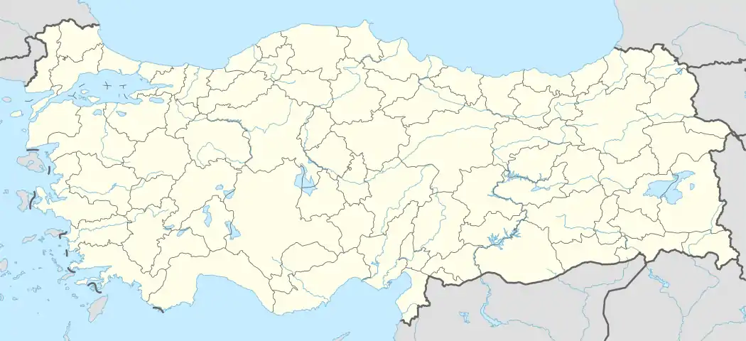 Şamlar Location in Turkey | |
| Coordinates: 41°07′N 28°44′E | |
| Country | |
| Province | İstanbul Province |
| District | Başakşehir |
| Elevation | 50 m (165 ft) |
| Population (2010) | |
| • Total | 3,448 |
| Time zone | UTC+2 (EET) |
| • Summer (DST) | UTC+3 (EEST) |
| Postal code | 34306 |
| Area code(s) | 0212 |
| Licence plate | 34 |
This article is issued from Wikipedia. The text is licensed under Creative Commons - Attribution - Sharealike. Additional terms may apply for the media files.