Mount Japfü
Mount Japfü (/jæpfu/, YAP-FU), is a mountain peak of the Barail Range, located in Kohima District of Nagaland about 15 kilometres (9 mi) south of Kohima, the capital of Nagaland. With a summit elevation of 3,048 m (10,000 ft), it is the second highest mountain in the Indian state of Nagaland and the highest in the Barail Range.[1][2]
| Mount Japfü | |
|---|---|
 Mount Japfü Location in Nagaland, India  Mount Japfü Mount Japfü (India) 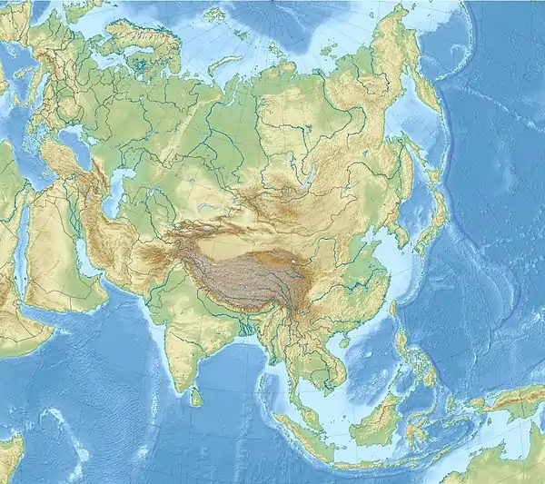 Mount Japfü Mount Japfü (Asia) .svg.png.webp) Mount Japfü Mount Japfü (Earth) | |
| Highest point | |
| Elevation | 3,048 m (10,000 ft) |
| Listing | |
| Coordinates | 25.598205°N 94.068051°E |
| Geography | |
| Location | Kohima District, Nagaland |
| Parent range | Barail Range |
| Climbing | |
| Easiest route | Hiking |
See also
References
- "Of a fire in Mount Japfü". Eastern Mirror. 17 October 2021. Retrieved 2 March 2022.
- "Japfü Peak - Incredible India". Incredible India. Retrieved 2 March 2022.
External links
This article is issued from Wikipedia. The text is licensed under Creative Commons - Attribution - Sharealike. Additional terms may apply for the media files.