Bena, California
Bena (formerly, Pampa)[2] is an unincorporated community in Kern County, California.[1] It is located on the Union Pacific Railroad 7 miles (11 km) west-northwest of Caliente,[2] at an elevation of 863 feet (263 m).[1]
Bena | |
|---|---|
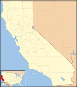 Bena Location in California  Bena Bena (the United States) | |
| Coordinates: 35°19′36″N 118°44′23″W | |
| Country | United States |
| State | California |
| County | Kern County |
| Elevation | 863 ft (263 m) |
The Pampa post office operated from 1889 to 1890 and again during 1901.[2]
References
- U.S. Geological Survey Geographic Names Information System: Bena, California
- Durham, David L. (1998). California's Geographic Names: A Gazetteer of Historic and Modern Names of the State. Clovis, Calif.: Word Dancer Press. p. 1001. ISBN 1-884995-14-4.

This article is issued from Wikipedia. The text is licensed under Creative Commons - Attribution - Sharealike. Additional terms may apply for the media files.