Taanayel
Taanayel (Arabic: تعنايل), also transliterated Tanayal,[2] is a village located in the Zahlé District of the Beqaa Governorate in Lebanon.
Taanayel
تعنايل | |
|---|---|
Village | |
 Taanayel village, 2013 | |
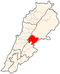
 Taanayel Location in Lebanon | |
| Coordinates: 33°47′59″N 35°52′08″E | |
| Country | |
| Governorate | Beqaa Governorate |
| District | Zahlé |
| Elevation | 2,720 ft (830 m) |
| Time zone | UTC+2 (EET) |
| • Summer (DST) | +3 |
History
In 1838, Eli Smith noted Tha'nayil as a Sunni Muslim village in the Beqaa Valley.[3]
In 1982, Taanayel suffered heavy damages from aerial bombardments.[4]
In October 1985, war planes of the Israeli Air Force (IAF) dropped bombs and fired rockets on a target near Tanayel on the Beirut-Damascus highway. According to UPI, the command of the Israel Defense Forces (IDF) claimed that the place was used as a military base by Ahmed Jibril's pro-Syrian Popular Front for the Liberation of Palestine-General Command.[2]
Tannayal farm (from the Aramaic word for "the Grace of God") lies a few kilometers south from Chtaura on the main road. An estate that has been converted to a farm and retreat centre in Ignatian spirituality, owned by the Jesuit fathers since 1860. Exotic fowl including peacocks and doves can be found there. It is a working farm and also serves as a teaching facility for the Faculty of Agriculture at Saint Joseph University located in Beirut.[5]
References
- Taanayel, localiban
- Smerdon, Peter (27 October 1985). "Israeli warplanes pounded two Palestinian bases in eastern Lebanon's..." UPI. Retrieved 2021-12-21.
{{cite web}}: CS1 maint: url-status (link) - Robinson and Smith, 1841, vol 3, 2nd appendix, p. 142
- Mohr, Jean (1982). "Référence : V-P-LB-D-00046-05". ICRC Audiovisual archives. Retrieved 2021-12-21.
{{cite web}}: CS1 maint: url-status (link) - "Tourism @ Lebanon.com". www.lebanon.com.