Tepeköy, Gökçeada
Tepeköy, also known by its former Greek name Agridia (Greek: Αγρίδια), is a village on the island of Imbros in northwestern Turkey.
Zeytinliköy
Αγρίδια | |
|---|---|
Village | |
.jpg.webp) Traditional houses of the village | |
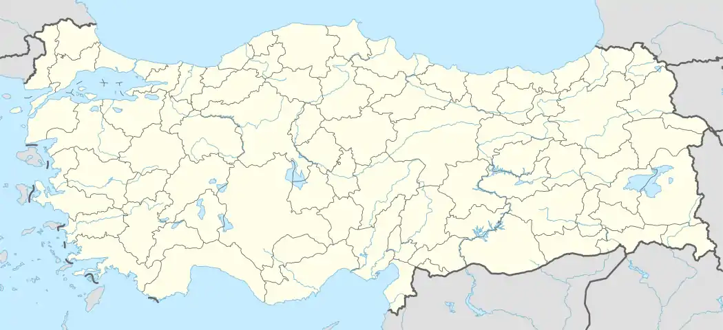 Zeytinliköy Location in Turkey | |
| Coordinates: 40°11′25″N 25°50′08″E | |
| Country | |
| Province | Çanakkale Province |
| District | Gökçeada |
| Government | |
| • Mayor | Dimitrios Psaros |
| Elevation | 280 m (920 ft) |
| Population (2018)[2] | |
| • Total | 165 |
| Time zone | UTC+2 (EET) |
| • Summer (DST) | UTC+3 (EEST) |
| Postal code | 17762 |
| Area code(s) | 0286 |
| Licence plate | 17 |
Geography
It is located 8km west of the only town of the island, Çınarlı (or in Greek Panagia Balomeni), and 14km west from the central port of the island.[3] It stands at an altitude of approximately 280m nearby Kastri hill.[1]
History & Demography
The village had a total population of 165 in 2018, a notable increase since 2007, when it only had 125 inhabitants.[2] It is one of the few predominantly Greek Orthodox settlements in Turkey, with the Greek population ranging at around 75%, and has a Greek mayor, Dimitrios Psaros.[4][5] A Greek Orthodox Church dedicated to the Annunciation lies within the village.[6] A Greek minority high school and junior high school are operating in the village since 2015.[4] Evolution of the population of the village:[2]
| Year | Population |
|---|---|
| 2007 | 125 |
| 2010 | 136 |
| 2013 | 126 |
| 2016 | 148 |
| 2018 | 165 |
References
| Wikimedia Commons has media related to Tepeköy (Gökçeada). |
- Elevation Finder, www.freemaptools.com
- ÇANAKKALE GÖKÇEADA TEPEKÖY KÖYÜ NÜFUSU, www.nufusune.com
- Driving distances, fuel costs and detailed driving directions, www.apostaseis.gr
- Fotiadi, Ioanna, Τα παιδικά χαμόγελα «ανθούν» στα Αγρίδια της Ιμβρου, 28 February 2016, Official Website of Kathimerini
- Merkezi, Haber, ÇANAKKALE, 2015, www.muhtarlarkonfederasyonu.org
- Gökçeada Tepeköy, www.gokceadarehberim.com