Chamelet
Chamelet (French pronunciation: [ʃamlɛ]) is a commune in the Rhône department in eastern France.
Chamelet | |
|---|---|
 A general view of Chamelet | |
Location of Chamelet 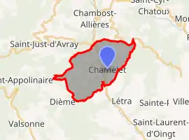 | |
 Chamelet  Chamelet | |
| Coordinates: 45°59′05″N 4°30′38″E | |
| Country | France |
| Region | Auvergne-Rhône-Alpes |
| Department | Rhône |
| Arrondissement | Villefranche-sur-Saône |
| Canton | Val d'Oingt |
| Intercommunality | Beaujolais-Pierres Dorées |
| Government | |
| • Mayor (2020–2026) | Alain Chambru[1] |
| Area 1 | 14.43 km2 (5.57 sq mi) |
| Population | 694 |
| • Density | 48/km2 (120/sq mi) |
| Time zone | UTC+01:00 (CET) |
| • Summer (DST) | UTC+02:00 (CEST) |
| INSEE/Postal code | 69039 /69620 |
| Elevation | 291–742 m (955–2,434 ft) (avg. 309 m or 1,014 ft) |
| 1 French Land Register data, which excludes lakes, ponds, glaciers > 1 km2 (0.386 sq mi or 247 acres) and river estuaries. | |
See also
References
- "Répertoire national des élus: les maires". data.gouv.fr, Plateforme ouverte des données publiques françaises (in French). 2 December 2020.
- "Populations légales 2019". The National Institute of Statistics and Economic Studies. 29 December 2021.
| Wikimedia Commons has media related to Chamelet. |
This article is issued from Wikipedia. The text is licensed under Creative Commons - Attribution - Sharealike. Additional terms may apply for the media files.