Hérépian
Hérépian (French pronunciation: [eʁepjɑ̃]; Occitan: Erépia) is a commune in the Hérault département in the Occitanie region in southern France.
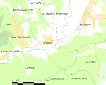
Map
Hérépian | |
|---|---|
 Hérépian | |
.svg.png.webp) Coat of arms | |
Location of Hérépian 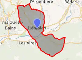 | |
 Hérépian  Hérépian | |
| Coordinates: 43°35′39″N 3°06′58″E | |
| Country | France |
| Region | Occitania |
| Department | Hérault |
| Arrondissement | Béziers |
| Canton | Clermont-l'Hérault |
| Intercommunality | Grand Orb |
| Government | |
| • Mayor (2020–2026) | Jean-Louis Lafaurie[1] |
| Area 1 | 8.77 km2 (3.39 sq mi) |
| Population | 1,515 |
| • Density | 170/km2 (450/sq mi) |
| Time zone | UTC+01:00 (CET) |
| • Summer (DST) | UTC+02:00 (CEST) |
| INSEE/Postal code | 34119 /34600 |
| Elevation | 178–520 m (584–1,706 ft) (avg. 191 m or 627 ft) |
| 1 French Land Register data, which excludes lakes, ponds, glaciers > 1 km2 (0.386 sq mi or 247 acres) and river estuaries. | |
Population
| Year | Pop. | ±% |
|---|---|---|
| 1962 | 1,122 | — |
| 1968 | 1,135 | +1.2% |
| 1975 | 1,126 | −0.8% |
| 1982 | 1,157 | +2.8% |
| 1990 | 1,241 | +7.3% |
| 1999 | 1,368 | +10.2% |
| 2008 | 1,469 | +7.4% |
See also
References
- "Répertoire national des élus: les maires". data.gouv.fr, Plateforme ouverte des données publiques françaises (in French). 9 August 2021.
- "Populations légales 2019". The National Institute of Statistics and Economic Studies. 29 December 2021.
| Wikimedia Commons has media related to Hérépian. |
This article is issued from Wikipedia. The text is licensed under Creative Commons - Attribution - Sharealike. Additional terms may apply for the media files.