La Caunette
La Caunette (French pronunciation: [la konɛt]; Occitan: La Cauneta) is a commune in the Hérault department in southern France.
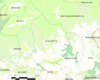
Map
La Caunette | |
|---|---|
 Church Notre Dame | |
.svg.png.webp) Coat of arms | |
Location of La Caunette  | |
 La Caunette  La Caunette | |
| Coordinates: 43°21′13″N 2°46′49″E | |
| Country | France |
| Region | Occitania |
| Department | Hérault |
| Arrondissement | Béziers |
| Canton | Saint-Pons-de-Thomières |
| Government | |
| • Mayor (2020–2026) | Max Fabre[1] |
| Area 1 | 21.78 km2 (8.41 sq mi) |
| Population | 315 |
| • Density | 14/km2 (37/sq mi) |
| Time zone | UTC+01:00 (CET) |
| • Summer (DST) | UTC+02:00 (CEST) |
| INSEE/Postal code | 34059 /34210 |
| Elevation | 112–483 m (367–1,585 ft) (avg. 128 m or 420 ft) |
| 1 French Land Register data, which excludes lakes, ponds, glaciers > 1 km2 (0.386 sq mi or 247 acres) and river estuaries. | |
Population
| Year | Pop. | ±% |
|---|---|---|
| 1962 | 340 | — |
| 1968 | 360 | +5.9% |
| 1975 | 311 | −13.6% |
| 1982 | 265 | −14.8% |
| 1990 | 293 | +10.6% |
| 1999 | 306 | +4.4% |
| 2008 | 325 | +6.2% |
See also
References
- "Répertoire national des élus: les maires". data.gouv.fr, Plateforme ouverte des données publiques françaises (in French). 9 August 2021.
- "Populations légales 2019". The National Institute of Statistics and Economic Studies. 29 December 2021.
| Wikimedia Commons has media related to La Caunette. |
This article is issued from Wikipedia. The text is licensed under Creative Commons - Attribution - Sharealike. Additional terms may apply for the media files.